El Niño Rains Haven’t Forgotten Us … They May Just Be Running Late
If you are wondering what happened to the vaunted El Niño, weather experts have stated that periods of sunny and warm weather are typical even in strong El Niño winters and that there is “No need to be alarmed that El Niño is a bust.”
Over the past several winters, a persistent region of atmospheric high pressure over the far northeastern Pacific Ocean, dubbed by one forecaster as the RRR … Ridiculously Resilient Ridge … prevented storms from reaching us, resulting in our multi-year drought. (Instead moisture laden air was directed to the East Coast where snowfall reached excessive levels.)
Despite the fact that the RRR disappeared this year, another high-pressure ridge, this time off the coast of California prevented storms generated by El Niño conditions from reaching southern California. High-pressure ridges are the norm in our area, accounting for the dry summers in our Mediterranean climate.
The drought break that Californians have been waiting for all winter is about to arrive: a series of storms bringing loads of rain and snow from the El Niño–fueled Pacific Ocean.
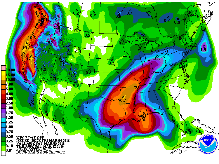
Over the next 10 days, beginning Friday, a series of Pacific storm systems will batter the California coastline, bringing intense tendrils of moisture northeastward from the deep tropical Pacific Ocean where El Niño has juiced the atmosphere’s energy. So far this winter, these storms have been largely directed on the Pacific Northwest, where on Tuesday, Seattle clinched its rainiest winter in history. That energy will now be directed squarely at California. Link for article
In the longer run, it seems likely that a fairly active weather pattern will continue across California for much of March. And while we all hope for another “March Miracle” (as happened in 1991), precipitation at that level is hard to predict at this point. However, it does appear likely that California’s snowpack will recover to average (or perhaps above average) levels in the coming weeks. It is less clear whether Southern California will be able to make up the seasonal precipitation deficit that has accumulated this year, despite the near record-strength El Niño event in the tropical Pacific. Still, it seems increasingly likely that March will be able to make a dent – even though it’s quite clear that California’s multi-year drought will persist through the summer.
And on the brighter side, optimistic forecasters and modelers remind us that the two biggest El Niños on record, which developed over 1982-83 and 1997-98, brought double the rain and double the snowpack for California. Further, this El Niño is in the same league as those two, and may be even bigger. Frustrating as our “rain year” has been, forecasters offer that we should not be fooled into thinking that El Niño has forsaken us. It’s just “late to the party”. Finally, the El Niño expert and climatologist at JPL has been quoted as saying, “It is not unusual for El Niños, with regard to Southern California rain, to be slow starters … when they hook up, they are fast and furious finishers.”
Keep your fingers crossed!
References: